Art Center Site Suitability
Project Overview
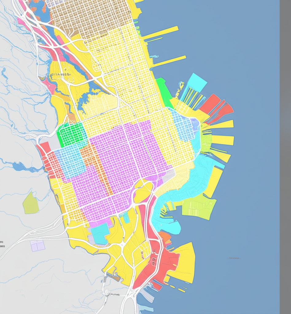
This project aimed to use spatial analysis techniques to identify the optimal location for a community art center in San Francisco. The goal was to find a site that would be accessible to diverse communities, particularly those with limited access to arts education.
Methodology
I used QGIS to analyze multiple GeoJSON layers including:
- Zoning regulations and land use
- Public transportation accessibility
- Demographic data by census tract
- Existing cultural institutions
- Property values and available spaces
Through spatial joins and filtering, I identified areas that met all criteria and ranked potential sites based on a weighted scoring system.
Results
The analysis identified three potential sites, with the Mission District location scoring highest due to its:
- Central location with excellent public transit access
- Proximity to underserved communities
- Available building with appropriate zoning
- Affordable lease options
- Synergy with existing cultural institutions
Impact
This project demonstrated how GIS analysis can inform urban planning decisions that promote cultural equity. The methodology can be adapted for other cities seeking to optimize locations for community resources.
Complete Project Report
Download the full project report